
Your shopping cart is empty!
Application Of HSI In The Field Of Water Stress
This article introduces the application of Optoky hyperspectroscopy in environmental science (water stress).
Water quality monitoring is a process of monitoring and measuring the types of pollutants in water bodies, the concentrations and changing trends of various pollutants, and evaluating water quality conditions. In terms of subdivisions, it can be divided into two fields: water quality monitoring equipment and water quality monitoring operation services.
1.Background
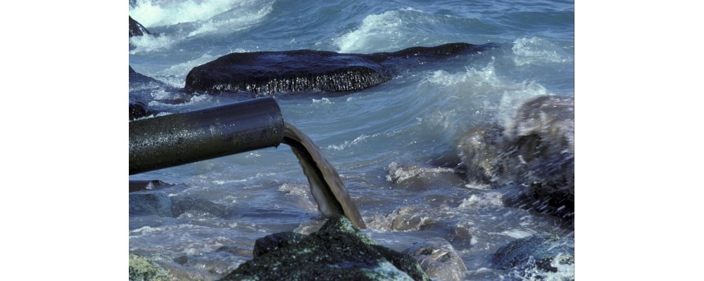
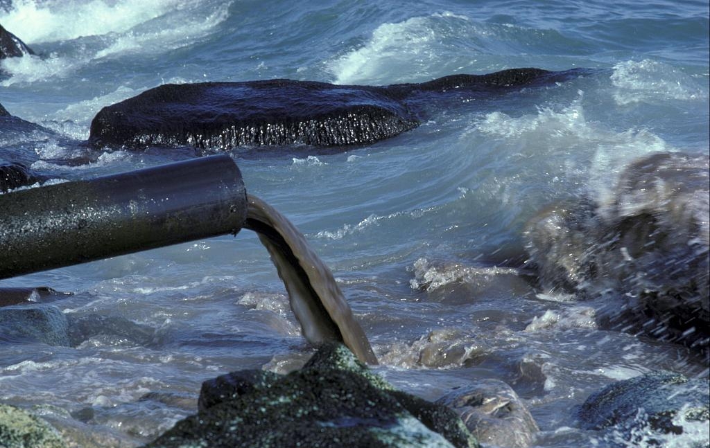
Water pollution problems caused by social development


2.Solution
2.1 Core technical ideas
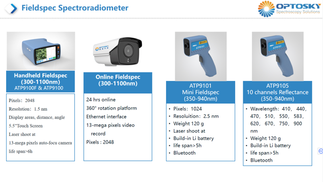
An industry solution based on "sky-ground integration", taking the multi-source and multi-sequential wide-area monitoring of satellite remote sensing as the spatial foundation, taking the key monitoring of near-Earth hyperspectral drones as the core advantage, and taking the most advanced Fieldspec Spectroradiometer as the core advantage. Accuracy guaranteed, opening up industry application services.
This solution is very suitable for Water Stress、Environmental Science、Environmental Monitoring、Environmental Mapping、Environmental Analysis.
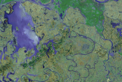
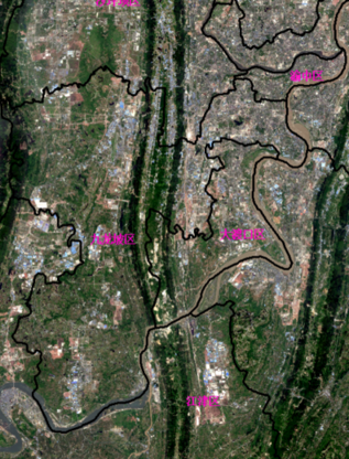
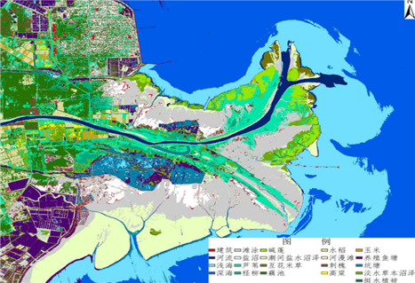
Satellite data can be used to achieve large-scale real-time monitoring

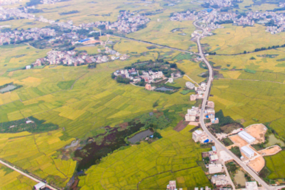
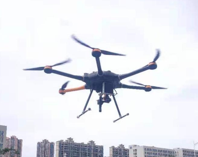
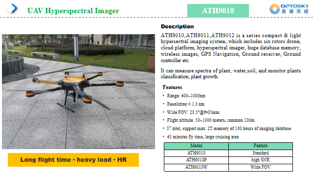
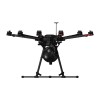
Hyperspectral UAV imaging system can obtain spectral data of various ground objects for precise monitoring and improve the precision and accuracy of ground object monitoring.

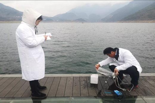
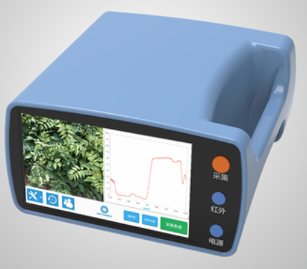
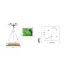
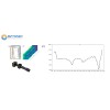
Use a Fieldspec Spectroradiometer to select sample points and conduct manual field measurements to obtain the required data.
High spatial resolution, flexible data collection, and lower material and operating costs.

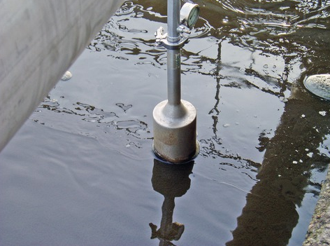
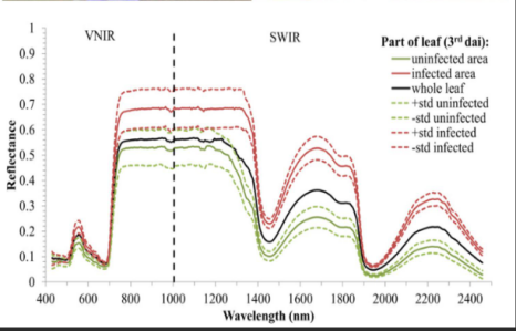
Can collect the reflectance spectrum signal of water
2.2 Monitoring principle
Water quality monitoring parameters: Recommended combination of Fieldspec Spectroradiometer and hyperspectral imager
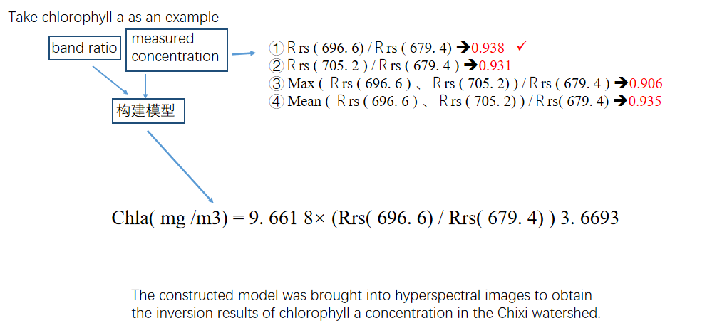
(1)Chlorophyll a
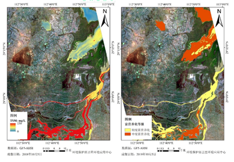
(2) Suspended matter
(3) Total phosphorus
(4) Total nitrogen
(5) Ammonia nitrogen
(6) Permanganate
(7) Dissolved oxygen
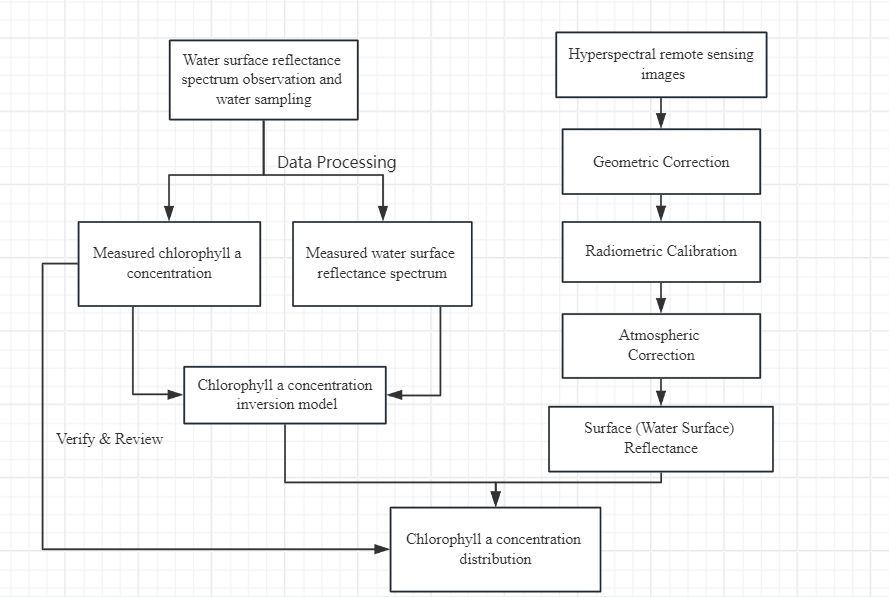
2.3 Monitoring Process
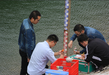
Vessel Sampling
Route Planning
Spectral data collection
Spectral analysis
Data inversion
- Perform pre-image preprocessing such as image stitching on UAV hyperspectral remote sensing data collected in the field
- Use Fieldspec Spectroradiometer and ship field sampling to collect spectral data from river sample points. The sample points should be evenly distributed and targeted.
- Spectral data and water quality parameter data based on UAV hyperspectral imagery can be analyzed
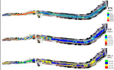
- Quickly generate concentration maps of various water quality parameters in the study area in different time and space
2.4 Monitoring Results
The accuracy of the inversion model can reach 80%
3.Case
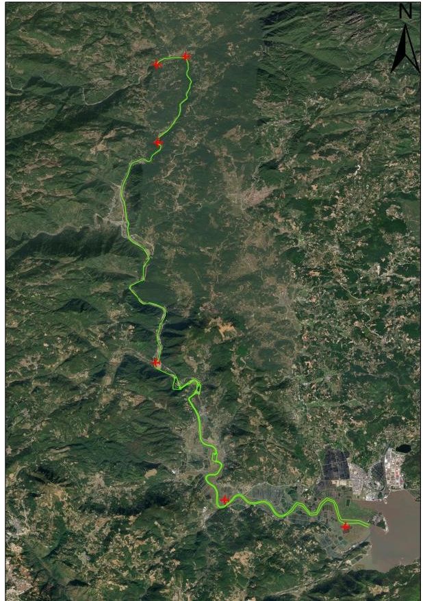
3.1Chixi County Hyperspectral River Inspection Project
1. Carry out hyperspectral camera measurements of water.
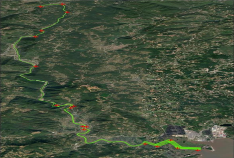
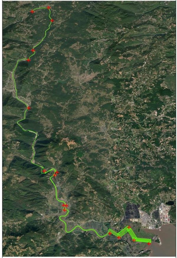
Operation scope: Chixi, Xiapu County (28.64km)
The number of measuring points is 40.
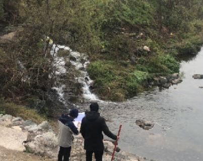
2. Water quality sampling and water body spectrum sampling are carried out simultaneously.
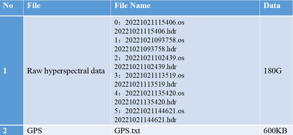
3. Measuring water quality spectrum requires a portable spectrometer, and the measured data can be dynamically displayed on a notebook. During the sampling process, water body spectrum measurement and water quality collection were carried out simultaneously, and GPS positioning was used to record the accurate longitude and latitude position of each sample point.
4. Perform relevant preprocessing on the measured spectral data, including noise reduction and smoothing, etc.
3.2 Implementation process
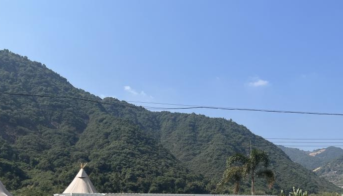
1. On-site investigation
Familiarize yourself with the area and ensure safety in the flight altitude area
2.Route optimization
In the early stages of the project, preset routes were completed based on satellite maps, and route optimization was carried out after area survey.
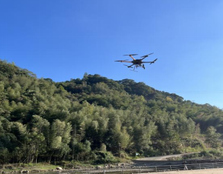
3. Hyperspectral imaging sensor data collection
Hyperspectral data collection is carried out according to the optimized route.
4.Water body sampling point index spectrum and water body sampling
Water body sampling obtains the concentration of each parameter indicator at the sampling point
5.Data inversion


-100x100.jpg)

Search
Categories
Popular Posts


Latest Posts


Comments: 0
No comments