Your shopping cart is empty!
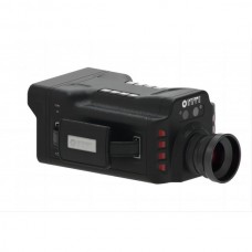
UAV Environmental Monitor


Availability: In Stock
UAV Environmental Monitor
Product Code: GF910
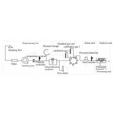
application


-228x228.jpg)