Your shopping cart is empty!
Multi-Gas Sensing & Mapping System
Availability: In Stock
Multi-Gas Sensing & Mapping System
Product Code: GF910
application
Description
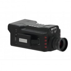
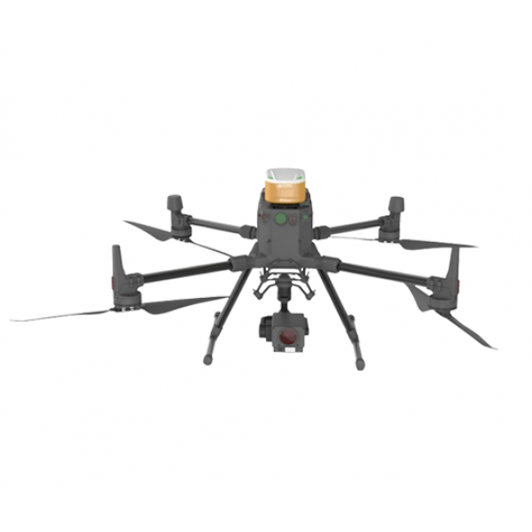
GF910 is a professional portable seven-parameter monitoring system for typical applications of ecological environment protection. The project consists of various high-precision gas sensors, four-rotor high-stability drones, and is equipped with intelligent visual analysis software, which can accurately monitor real-time Obtain air pollution distribution information.Compared with traditional detection methods, UAV-borne environmental monitors have the advantages of wide adaptability to scenarios, high flexibility, and strong maneuverability. They can quickly identify the presence of toxic, harmful, flammable and explosive gases on site. It is suitable for various pollution source tracing, public interest litigation, emergency fire rescue, environmental protection, air quality monitoring, dust monitoring and other industries to provide timely and effective decision-making basis, helping staff to significantly improve work efficiency and reduce safety risks and costs.
Features
- Real-time monitoring of CO, NO2 and other gas concentrations, PM2.5, PM10 dust concentration, VOCs, temperature, humidity, etc.;
- Small size, light weight, the shell is made of lightweight material, strong, durable and anti-fall;
- Active air intake system;
- Contains energy storage module inside;
- Various working status indicators;
- Support 4G mobile communication;
- High-precision built-in satellite positioning (GNSS);
- The maximum working time is 55 minutes;
- Support remote OTA.
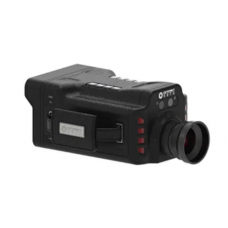
Camera (DJI Zenmuse H20) optional | ||
Angle Jitter | ±0.01° | |
Function | Zoom + wide angle + laser ranging | |
Controllable Rotation Range | Pitch: -120° to 30° Pan: ±320° | |
Installation Method | Removable | |
Maximum Zoom Factor | 200× (DFOV: 0.5°, equivalent focal length: 4800mm) | |
Eye Safety Level | Class 1M (IEC 60825-1:2014) | |
Operating Temperature | -20℃-50℃ | |
Protection Level | IP44 | |
Size | 150×114×151 mm | |
Weight | 678±5° | |
Remote control Android software | ||
| Parameters related to drones, cameras, and environmental monitors can be flexibly set | |
Real-time display of environmental monitor measurement values | ||
Can support path inspection and automatic cruise | ||
After the task is completed, the inspection report can be exported with one click | ||
PC software | ||
| Support real-time data analysis and seamless connection with the inspection site | |
Supports three types of visual data switching (2D grid, contour pollution concentration distribution map, 3D point cloud pollution distribution map) | ||
Supports real-time display of camera images, and the correspondence between pollution concentration values and real scene information is clear at a glance (optional) | ||
Supports importing real-life photos (optional) | ||
Supports importing high-definition orthophotos to avoid the impact of old maps (optional) | ||
Supports one-click generation of task reports/export data tables | ||
Supports connection with multiple drones to meet simultaneous sampling in multiple places | ||
Support cloud function | ||
UAV platform parameters (DJI M300RTK) | ||
Size | Dimensions (expanded, excluding blades): 810×670×430 mm (length×width×height) | |
Symmetrical Motor Wheelbase | 895mm | |
Weight (Including Lower Single Pan/Tilt Bracket) | Empty weight (without battery): 3.6 kg | |
Maximum Load Capacity Of Single Gimbal Weight-Reducing Ball | 930g | |
Maximum Takeoff Weight | 9kg | |
Hover Accuracy (P-Gps) | vertical: | |
Maximum Flight Altitude | 5000m | |
Maximum Withstand Wind Speed | 15m/s (Wind speed level seven) | |
Maximum Flight Time | 55min | |
Protection Level | IP45 | |
Gnss | GPS+GLONASS+BeiDou+Galileo | |
Working Temperature | -20℃-50℃ | |
Maximum Effective Working Distance Of Ground Station | 15km 1080P Picture transmission | |



-228x228.jpg)
