Your shopping cart is empty!
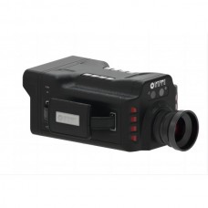
Infrared Multi-Gas Analyzer


Availability: In Stock
Infrared Multi-Gas Analyzer
Product Code: GF900
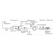
application
Description
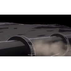
GF900 UAV-borne laser methane telemetry system is a new generation of intelligent inspection equipment for methane leaks launched by Optosky. It consists of a high-performance laser methane telemeter, a four-rotor high-stability UAV, a high-stability pan-tilt, a large-capacity storage system, a wireless image system, and a ground control system, which can provide a new perspective for pipeline network inspection.GF900 uses 3AXIS three-axis stabilized gimbal, the gyroscope detects the inclination angle of the drone, and the attitude processor controls the three motion axes of the gimbal to balance the flight attitude, so that the telemetry sensor always points in the same direction no matter how the aircraft shakes. It is the basis for effective detection of machine detection system.The GF900 solution can provide intelligent, accurate and reliable inspection solutions for complex and dangerous environments such as factories, pipelines, residential buildings, urban complexes, and mountains. Fully guarantee the safety of personnel and equipment. The intelligent application software on the ground side receives real-time feedback images and detection data, and immediately reports to the police when leaks are found. At the same time, it records inspection tracks and alarm events, and automatically generates inspection reports. The system supports planned flight and manual flight control.
Features
- With 0.01S response time
- Effectively monitor methane leakage air mass in low-altitude areas below 100m;
- Ppm level high precision, more than 5ppm.m
- Single target gas, only sensitive to methane;
- Highly integrated flight control and methane leak inspection functions
- Highly automated
- Highly open
- Super long flight time
- Real-time data display
- Data wireless transmission function
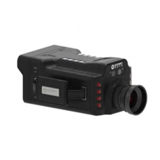
Laser Methane Telemeter(S350-W2) | |
Detection object | CH4 |
Detection principle | TDLAS |
sensitivity | 5ppm.m |
Measuring range (CH4) | 0-10000ppm.m |
responding speed | 0.01s |
telemetry distance | 100m |
supply voltage | 5V |
Output Data | Methane concentration value, light intensity, sensor internal temperature |
Working temperature | -10℃~+55℃ |
Working humidity | <95%RH,non-condensing |
Enclosure protection class | IP54 |
Instrument weight | 300g(removable shell) |
size | 66mm*57mm*94mm |
Camera (DJI Zenmuse H20) | |
Angular jitter | ±0.01° |
Function | Zoom+Wide Angle+Laser Ranging |
Controllable rotation range | pitch:-120°-30° translate:±320° |
installation method | detachable |
Maximum zoom factor | 200×(DFOV:0.5°,equivalent focal length:4800mm) |
Eye Safety Level | Class 1M(IEC 60825-1:2014) |
Working temperature | -20℃-50℃ |
degree of protection | IP44 |
Size | 150×114×151 mm |
Weight | 678±5° |
Gimbal (DJI X-Port) | |
| High-precision three-axis gimbal |
Maximum load | 450g |
Android software | |
Basic functions | It is possible to flexibly set the relevant parameters of drones, gimbals, and laser methane telemeters |
UAV platform parameters | |
size | Dimensions (expanded, excluding paddles): 810×670×430 mm (length×width×height) |
Symmetrical motor wheelbase | 895mm |
Weight | Empty weight (without batteries): 3.6 kg |
The maximum weight of the weight-reducing ball for single gimbal | 930g |
maximum take-off weight | 9kg |
Hover Accuracy (P-GPS) | vertical: |
Maximum flight altitude | 5000m |
maximum wind speed | 15m/s(Seven wind speed) |
Maximum flight time | 55min |
degree of protection | IP45 |
GNSS | GPS+GLONASS+BeiDou+Galileo |
Working temperature | -20℃-50℃ |
Maximum working distance of ground station | 15km 1080 (Pimage transmission) |


-228x228.jpg)