

Your shopping cart is empty!
UAV Hyperspectral Imaging for Precision Agriculture
This technical article explores how Optosky UAV-mounted hyperspectral imagers capture critical spectral signatures to evaluate crop health, monitor soil nutrients, and detect early-stage plant diseases before visible signs appear.
Modern precision agriculture demands diagnostic capabilities beyond conventional RGB or multispectral cameras. Optosky’s airborne hyperspectral imagers—such as the lightweight ATH series—integrate high-precision optical systems with airborne platforms. By collecting continuous spectral signatures across hundreds of narrow bands in the VNIR (400–1000 nm) range, agricultural scientists can pinpoint subtle chemical and physiological changes in crops.
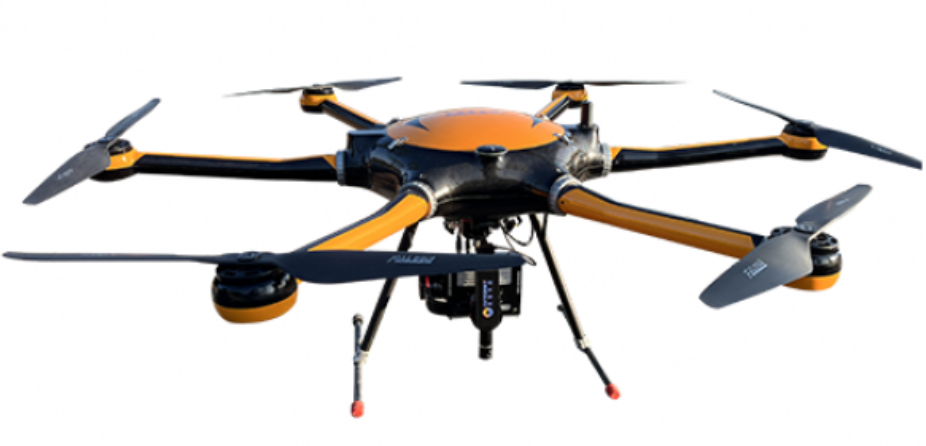
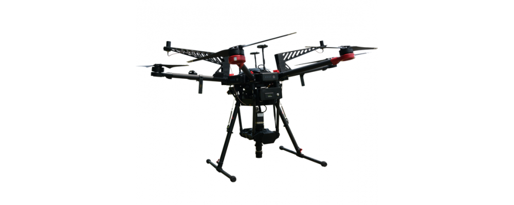
Optosky UAV-borne hyperspectral system for field monitoring.
Technical Workflow & Data Processing
The drone-borne hyperspectral system operates via a streamlined spatial-spectral data acquisition pipeline:- Push-Broom Acquisition: As the UAV flies, the camera captures spatial lines paired with continuous spectral profiles.
- Data Cube Construction: The raw 2D spatial images combine with the wavelength axis to form a 3D Hyperspectral Data Cube (X × Y × λ).
- Radiometric Calibration: Atmospheric and light fluctuations are calibrated using standard reference panels.
- Spectral Extraction: Algorithms extract specific reflectance fingerprints to calculate advanced Vegetation Indices (NDVI, PRI, red edge position).
Primary Agricultural Applications
- Early Pest & Disease Detection: Detects chlorophyll degradation and cellular structure breakdown before visual wilting occurs.
- Nitrogen & Nutrient Mapping: Measures crop leaf nitrogen concentration to optimize targeted fertilizer application.
- Yield Prediction & Stress Analysis: Evaluates water stress levels across vast fields to improve irrigation scheduling.



Search
Categories
Popular Posts


Latest Posts







Comments: 0
No comments