
Your shopping cart is empty!
Aug
28
-1000x400.jpg)
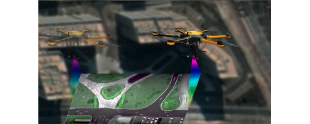
Soil Pollution Monitoring Based on UAV Hyperspectral Imaging
This blog post discusses the use of UAV-based hyperspectral imaging technology for monitoring soil pollution, particularly focusing on heavy metal contamination. It explains how hyperspectral remote sensing leverages the unique spectral fingerprints of elements and compounds to identify and analyze soil properties. The study highlights the use of the Optosky ATH9010 system to collect hyperspectral data and develop models for assessing heavy metal distribution in soils, providing a more efficient and real-time alternative to traditional soil monitoring methods.
Aug
28
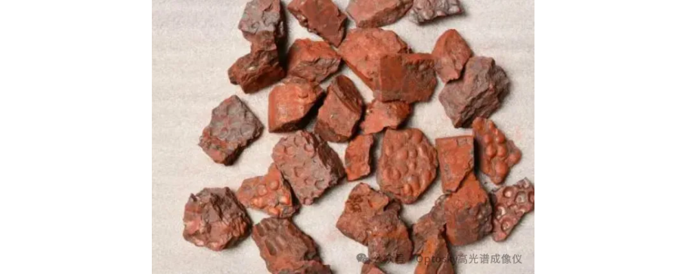
Ore Sorting Based on Hyperspectral Imaging Principles
This blog post explores the application of hyperspectral imaging technology in ore sorting, emphasizing its efficiency, non-contact nature, high precision, and automation capabilities. The post details how hyperspectral technology analyzes the spectral features of ores, enabling rapid and accurate identification and classification of minerals. The process involves capturing spectral data, preprocessing it, extracting relevant features, and applying spectral classification for effective ore sorting, ultimately improving the precision and efficiency of mining operations.
Aug
22
Research on Quantitative Inversion of Wheat Chlorophyll Content and Yield Based on Multispectral Imagery
Optosky utilizes advanced multispectral and hyperspectral imaging technologies to monitor wheat growth and forecast yield in China. By capturing and analyzing images at different growth stages, the study develops precise models for chlorophyll content and yield prediction. Key processes include meticulous image preprocessing, model construction using vegetation indices, and regular drone-based monitoring. This approach ensures accurate, timely insights crucial for agricultural management and economic development.
Aug
08
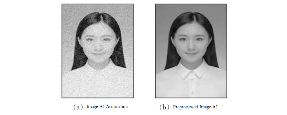
Application Scenarios | Hyperspectral Facial Automated Recognition
This article introduces the application of hyperspectral in face recognition.
Aug
08

Water Quality Online Monitoring Solution
This article introduces Optosky water quality online monitoring solution to you.
Search
Categories
Popular Posts


Latest Posts


