
Your shopping cart is empty!
Airborne Hyperspectral Imaging
Airborne Hyperspectral Imaging (or Remote Sensing) collects and process information across different bands of the electromagnetic spectrum.
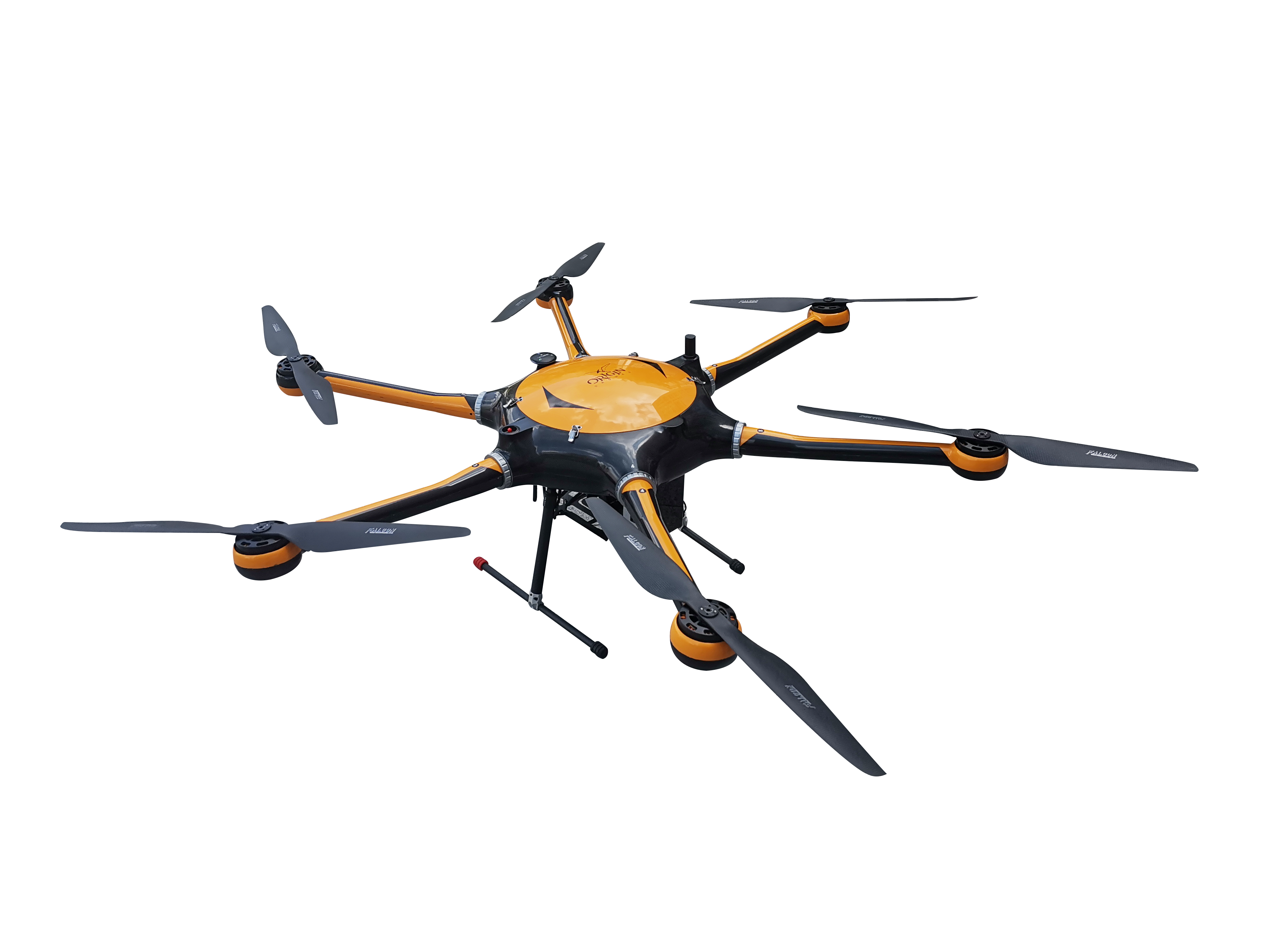
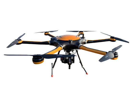
ATHL9010 hyperspectral scanner series is the 3rd generation hyperspectral imager integrated LiDAR system. This new series feature compact and light. It consists of eight main parts of six-rotor UAV, high-stable cloud platform, hyperspectral imager, LiDAR, big memory storage, GPS navigation system, ground receiver station, and ground control system.
https://www.optosky.com/
Products Related To This Video
Drone Forest Health Monitor
0.0000
Drone crop monitoring system
0.0000
.jpg)
UAV Multispectral Imager
0.0000
UAV NIR Hyperspectral Imager
0.0000
UAV Forest Health Monitor
0.0000
UAV Water Quality Monitor
0.0000
Related Video
Discover the BEAST power of DJI paired with Hyperspectral Imaging ATH1010LT from Optosky. Follow along as we mount, conf


